My Non Commercial and Non Profit Hiking Community friendly personal FB Page dedicated to UAE Hiking information and Trails.
https://www.facebook.com/Patricks-Hikes-101251445547970
Wadi Shah Loop Hike
Trail Stats:
| Distance: | 12.6 kms |
| Difficulty: | Moderate |
| Elevation gain: | 800 m |
| Elevation loss: | 800 m |
| Max elevation: | 1100 m |
| Min elevation: | 360 m |
| Trail type: | Loop |
| Moving time: | 3 hours 45 minutes |
Wadi Shah Full Loop ( Marked Trail Route 2024)
Enjoyed your hike using my detailed instructions?
Please share the love by leaving a comment or review on the Wikiloc post!
Your feedback helps fellow adventurers discover and navigate the trail with confidence.
Thank you Ras al Khaimah ❤️
RAK has built a good quality hiking trail after the Wadi Shah Dam behind Bear Grylls all the way to Shah Peak at 1100 mtrs elevation and then it connects to 2 years old Highlander trail that gives various options of hiking combinations.
From this junction at Wadi Shah Peak, you can hike to following spots.
1. Jebel Raharah / Jebel Jais via Highlander.
2. Hidden Oasis.
3. Musaibat village.
4. Musandam ridge via rough mountain with no trail.
5. 5 villages trail.
6. Wadi Lahsa
Until last year, we had to navigate the Wadi Shah Loop Hike trail by bouldering and some rough surfaces. With this newly laid trail, you can hike with much more ease and enjoy the views of mountains and valleys even with younger hikers.
The new trail goes effectively through villages and along the stone houses on the way and they give you a air idea of the life style of the residents in the past..
You could also hike short distance till the 1st village and return back as a shorter hike.
Enjoy Wadi Shah !!
Parking:
You can park here, very close to Bear Grylls camp. Sedans can also manage to reach here.
https://maps.app.goo.gl/sV3RND4EHczEzCG27
25.900125, 56.141759
Hike:
From the parking you walk along the visible offroad that goes along the Bear Grylls camp and deep into the Wadi Shah (now called Khamed) towards the the newly constructed Dam.
Just after the dam, you can see the trail display board and the start of the visible trail.
The trail is well made, visible and it takes you along the valley but avoiding all the boulders. The quality of the trail is good and stable.
The ascent is gradual with stairs, manmade staircases and also zigzag paths.
The trail takes you through the village houses, (some abandoned / some restored), some cemeteries and farmlands. We didnt encounter any residents though.
There are lots of camping spots here.
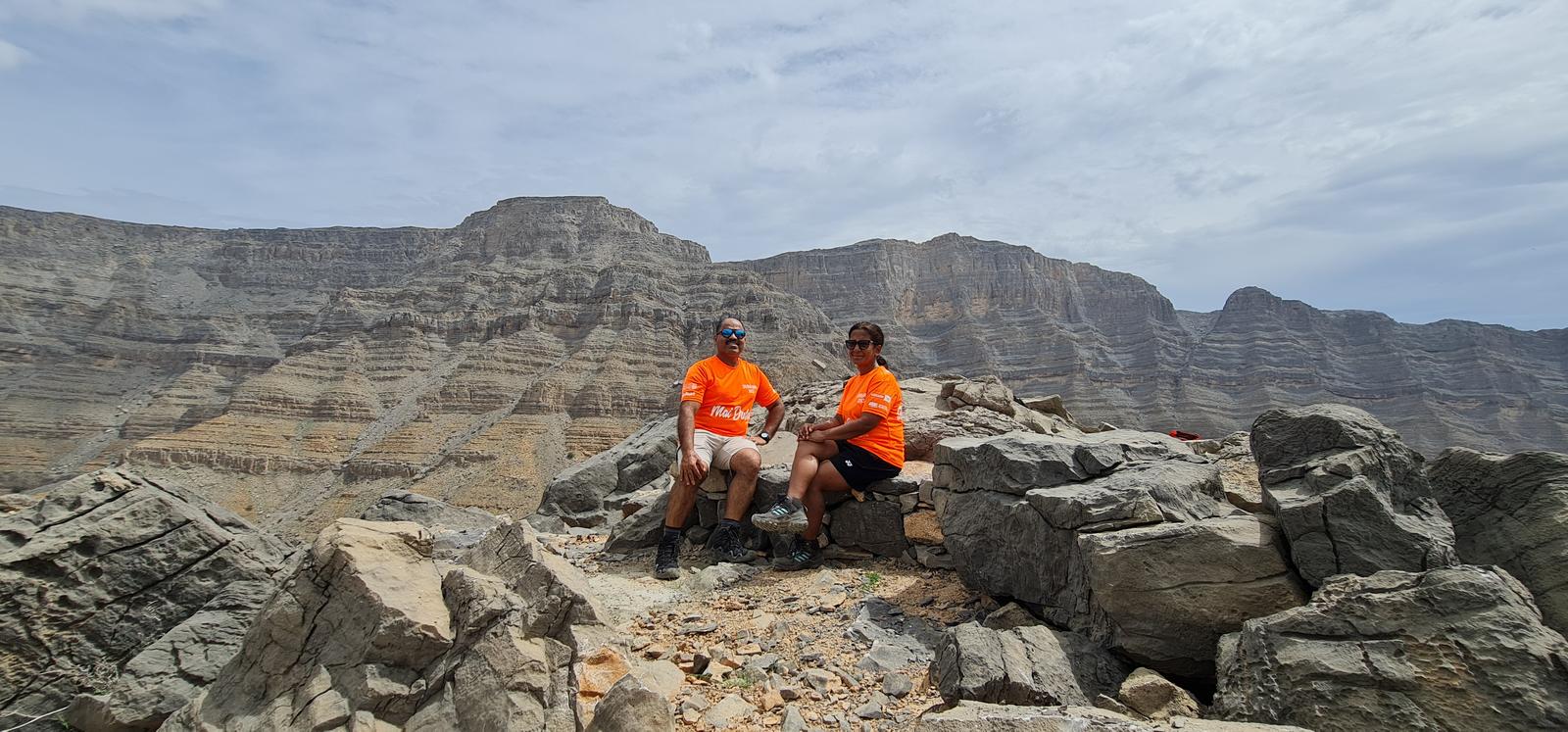
Soon you will reach the plateau just below the 1100 summit of Wadi Shah trail and the trail then continues to the summit with great views of the Musandam ridge.
The views from the Shah peak are my favourite.
From here you can see Jebel Yabana, Jebel Qihwi, Jebel Raharah, Jebel Rahabah, the Musandam ridge and Wadi Far summit mountains.
Then we used the same trail to descend towards Musaibat village and then further towards the Wadi Lahsa using the Highlander trail all te way down.
During the descent, we could see Jais road, view deck park, Samar trail and other areas.
The trail is this area is bit washed out due to rains, but still good enough to hike.
Once we were at Wadi Lahsa, we exited the Wadi and then walked towards Bear Grylls and ended our hike.
Parking Location:
Grade: Moderate
Base Village: Wadi Shah
Range: Jais.
Download:

Summit

Fields

Trail.

Terrain.

Village house.

Trail

Trail

Trail.


Leave a Reply