More details & pictures posted on wikiloc.
https://www.wikiloc.com/hiking-trails/saudi-arabia-abha-jabal-souda-sawda-summit-one-way-166205517
My Non Commercial and Non Profit Hiking Community friendly personal FB Page dedicated to UAE Hiking information and Trails.
https://www.facebook.com/Patricks-Hikes-101251445547970
Saudi Arabia: Abha: Jabal Souda / Sawda Summit One Way Hike.
Trail Stats:
| Distance: | 8.5 kms |
| Difficulty: | Moderate |
| Elevation gain: | 940 m |
| Elevation loss: | 136 m |
| Max elevation: | 3000 m |
| Min elevation: | 2150 m |
| Trail type: | One way |
| Moving time: | 2 hours 40 min |
Saudi Arabia: Abha: Jabal Souda / Sawda Summit One Way Hike.
Overview
• Trail Highlights:
o The trail starts in a dry, cactus-filled climate.
o It passes through a mossy forest.
o The trail ends on a ridge with spectacular views.
o Isolation and solitude make it feel like nowhere else in KSA.
This is the highest point, where the actual hike ends / starts depending where you start.
18.259709, 42.365955
https://maps.app.goo.gl/sgExGFT9X2HdezbB9
This is the lower startpoint / parking at Shokan village.
18.259515, 42.328002
https://maps.app.goo.gl/a7udxqqj23boMAN37
This is the tallest peak of Sawda, but inside the compound.
There’s a big rock that can be considered as a summit.
18.266373, 42.368102
https://maps.app.goo.gl/gaQHgUdTPXGUpkez7
Jebel Souda / Sawda in Arabic mean black mountain, but nowhere we could see this mountain as black, it was mostly green with different vegetation at different elevations.
Standing at 2,999 meters tall, is the highest mountain in Saudi Arabia. It offers a challenging yet rewarding hiking experience.
If hiking from lower elevations, starting in a rather dry area, following donkey trail, we will eventually reach greener vegetation with some juniper shrubs, opening to some fabulous views near the peak taking us through 2, if not 3, different climate zones.
Jabal Sawda is a broad mountain sitting at the edge of a spectacular escarpment that separates the high continental plateau with the city of Abha from the coastal plain to the southwest that stretches all the way to the Red Sea. Moist air coming from the sea tends to rise up along this escarpment, often shrouding the top in a veil of dense clouds. On a sunny day the views from the mountain are absolutely magnificent and I was lucky to have mostly fair weather during my hike, although at the summit I was surrounded by thick fog.
The drive from Abha to the trailhead was nothing short of breathtaking and worth the trip in itself! I first drove on highway 214 along the edge of the escarpment, stopping at several lookout spots with fantastic views of the ridges and valleys below me.
Picnic areas have been built along the side of the road overlooking the steep slopes, also a favourite hangout of hundreds of baboons who come to feed off the garbage left behind by visitors.
An excellent road (highway 2442) then descends into the valley in a series of switchbacks and down to the town of Al Jarf. About half way down I turned left (south) up a narrow asphalt road and drove to a cluster of mountain villages, regaining about 600 m of elevation in the process.
https://www.wikiloc.com/car-trails/rijal-alma-jebel-sawda-souda-summit-hike-drive-to-collect-the-car-full-itenary-166197458
Jabal Sawda is one of the rare mountains in Saudi Arabia that actually has a hiking trail running from the valley down the escarpment on its western side all the way to the summit.
The trail is centuries old and used to be frequented by traders linking up the coastal plains with the high plateau above before modern roads were built. Even today there are still some villagers that use the path to get to work:
The Saudi Hiking Club has put up some trail markers in a few places and there are indeed occasional hiking groups that use the trail as well, although I didn’t see any today.
I found the trailhead with the help of a friendly villager at Shokan village; it’s otherwise unmarked and easy to miss so a GPX location is a good idea. Rising steeply on a broad ridge, the trail is initially delineated by rocks on the sides to make sure one doesn’t stray off into the bush.
Higher up another trail joins and the path gets more well-defined as does the ridge itself. Sections of the route have been fortified with branches and stones to limit exposure.
Overall the trail is in great condition, weaving its way from one side to the other of the increasingly sharp ridge, with plenty of small ups and downs along the way.
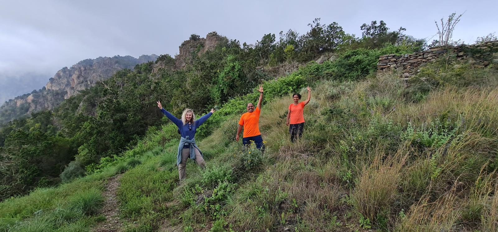
It was really quite amazing to experience the change in climate and landscape as I gradually went higher, from arid and hot to sub-tropical and humid. While I was hiking through barren shrubs on dry soil at the beginning, the vegetation became increasingly lush and green as I went up, with wafts of clouds moving through the trees that in parts almost felt like a jungle. It also got a lot cooler as I came closer to the summit.
Sadly, the summit mass of Sawda is a far cry from the feeling of remoteness and scenic beauty one can experience on the trail up.
Reaching the top of Jabal Sawda was thus a highly anticlimactic experience as my trail abruptly ended at a small asphalt road.
After some erring around I eventually found the summit itself, a fenced area with a radio tower in the middle. There were two fences and thankfully the outer fence was open and the highest point, a large elongated boulder, was right behind it.
Here’s a detailed plan for hiking to the summit of Jebel Sawda:
Starting Point and Trail Details:
• Trail Name: Jebel Sawda Hiking Trail
• Location: Near Rijal Alma, Asir, Saudi Arabia
• Trail Type: Out-and-back
• Length: Approximately 13.7 kilometers (8.5 miles)
• Elevation Gain: 1,055 meters (3,461 feet)
• Difficulty: Generally considered challenging
• Estimated Completion Time: Around 7 hours
• Trail Condition: Well-maintained and mostly free from trash
• Trail Highlights:
o The trail starts in a dry, cactus-filled climate.
o It passes through a mossy forest.
o The trail ends on a ridge with spectacular views.
o Isolation and solitude make it feel like nowhere else in KSA.
Logistics and Tips:
1. Transportation:
o You can take a taxi from Abha to the summit and hike down from the summit down to the village and hike up back..
o Alternatively, consider arranging transportation with a local guide or group to the middle village Shokan and hike up one way as we did.
2. Trailhead Location:
Parking:
While driving in Al Qus on 2442 highway take exit at 18.277314, 42.325042. After that, you drive on a narrow steep concrete paved road. Any car can do it provided you manage the low gears and control the RPM.
I have recorded separate trail to reach the village for hike start point from Jebel Soudah plateau.
https://www.wikiloc.com/car-trails/jabal-souda-sawda-to-village-for-souda-summit-hike-166205518
We parked here 18.259124, 42.328130 just behind a building in Shokan village.
3. Trail Markers:
o The trail is kind of signposted, but watch out for random arrow marks on the stones.
4. Trail End:
o The trail finishes weirdly on the road, without a sign explicitly stating that it’s Jebel Sawda.
5. Wildlife:
o Be aware of baboons. While I wasn’t close to them, they can be seen from far away.
Dont show them any food or dont go close to them. If they come close, just ignore and just keep walking. They are used to human presence and they are mainly looking for visible food. Keep your bags closed and whenever you take a break for food, make sure you scan the area for baboons. Just avoid taking breaks in their presence.
They are usually harmless but curious for food.
6. Weather:
o Check the weather forecast before your hike. Most of the time, this area is cloudy, misty, foggy and sunny or mixed weather.
Expect temperature shifts based on elevation and time of day.
7. Ground Conditions:
o Be prepared for wet, dry, grassy terrain depending on the season.
8. Enjoy the Views:
o The best parts of the hike are on the trail itself.
o Finding the true summit after hitting the paved road at the top is less interesting.
Most of the main text about the hike are copied from below website ( as I felt the text matched my planned description)
https://www.spectacularmountains.com/international/saudi-arabia/jabal-sawda
Parking Location:
Grade: Moderate
Base Village: Rijal Alma
Range: Jebel Sawda
Download:

Large Cactus

Village fields

green route

trail


vegetation

mossy Trail

Trail.


Leave a Reply