More pictures and details on wikiloc.
https://www.wikiloc.com/hiking-trails/rafisah-dam-to-suhub-rest-house-hike-khorfakkan-repeat-181502814
Rafisah Dam to Al Suhub Rest house Summit hike. Khorfakkan.
If you followed my trail and my details provided have been helpful for you in your hiking journey, kindly leave a review on this post.
It helps other hikers and it will build a better hiking community. Thank you.
Trail Stats
| Distance: | 7.79 km |
| Elevation gain: | 489 m |
| Difficulty: | Moderate |
| Elevation loss: | 489 m |
| Max elevation: | 580 m |
| Min elevation: | 148 m |
| Trail type: | Up and Back |
| Moving time: | 2 hours 30 minutes |
We went on a good hike at Rafisah dam at Khorfakkan town.
It was fully cloudy and sun was not visible until we left the area at 08:30am. I am sure most of the morning it would be so.
It drizzled little too and the weather was awesome.
The Rafisah dam is full of water to its brim and actually mildly overflowing.
The cloudy weather has been around for the 2nd week in recent times, it is a very pleasant trip.
At the Suhub rest house, we saw many visitors even at 5:30am already and the area was busy including the restaurant.
On our way back, the weather drastically changed about 20 Kms away from Rafisah from cloudy, cool and sunless sky to Hot, humid and very hot sunny climate.
Overall its a great experience to spend early hours of the day at Rafisah, Suhub and eastern part of UAE in present days.
We started to walk at 04:30am and reached the summit on time for sunrise at 06:15am, but instead we were blessed with low clouds that hid the sun but gave us a very different morning experience.
My personal FB Page (Non Profit / Non Commercial ) dedicated to UAE Hiking.
https://www.facebook.com/Patricks-Hikes-101251445547970
This Trail can be considered as Beginner Plus during Winter.
But to be considered as Moderate due to weather and humidity effect that tires the person while hiking steep up and down.
This Trail is laid in Khorfakkan, next to Rafisah Dam area.
Start point of the trail from the Dam Walk.
You can park cars here for free and start the hike from this point.
Search on google maps for “Al Raafisah Dam Walk”
https://goo.gl/maps/aScCpb1u8RmiJPVi7
In our case, the underpass road was closed to access the car parking due to rain caused damage to the road, so we parked bit before and started our hike.
You can take my end of the hike location also for parking.
The trail is well laid and visible in all the areas.
The trail waves around up and down and finally reaches the Al Suhub Rest House.
The Top elevation is 580 meters. Total elevation gain is about 500 meters.
The views from the top are impressive of Arabian Sea, Khorfakkan city, Rabi tower trail and Khorfakkan port.
While ascending the first half of the trail, you have impressive views of Rafisah Dam with lots of water activities in the Lake.
I suggest, please hike up the first half section at least to enjoy the Raafisah dam view, if not all the way to the summit.
Take usual care of Water, hydration, electrolytes and snacks.
The first half section is good without Hiking poles, but the second half Hiking poles are must due to steep descent and loose pebble type stones on the trail.
Hiking Shoes are MUST.
Overall its a wonderful trail with great views.
Parking Location:
Grade: Moderate
Base Village: Rafisah dam
Range: Khor fakkan
Download:

Sunrise view at summit

Rafisah dam lake.

Summit.

View.

Trail

Summit.

Scenery

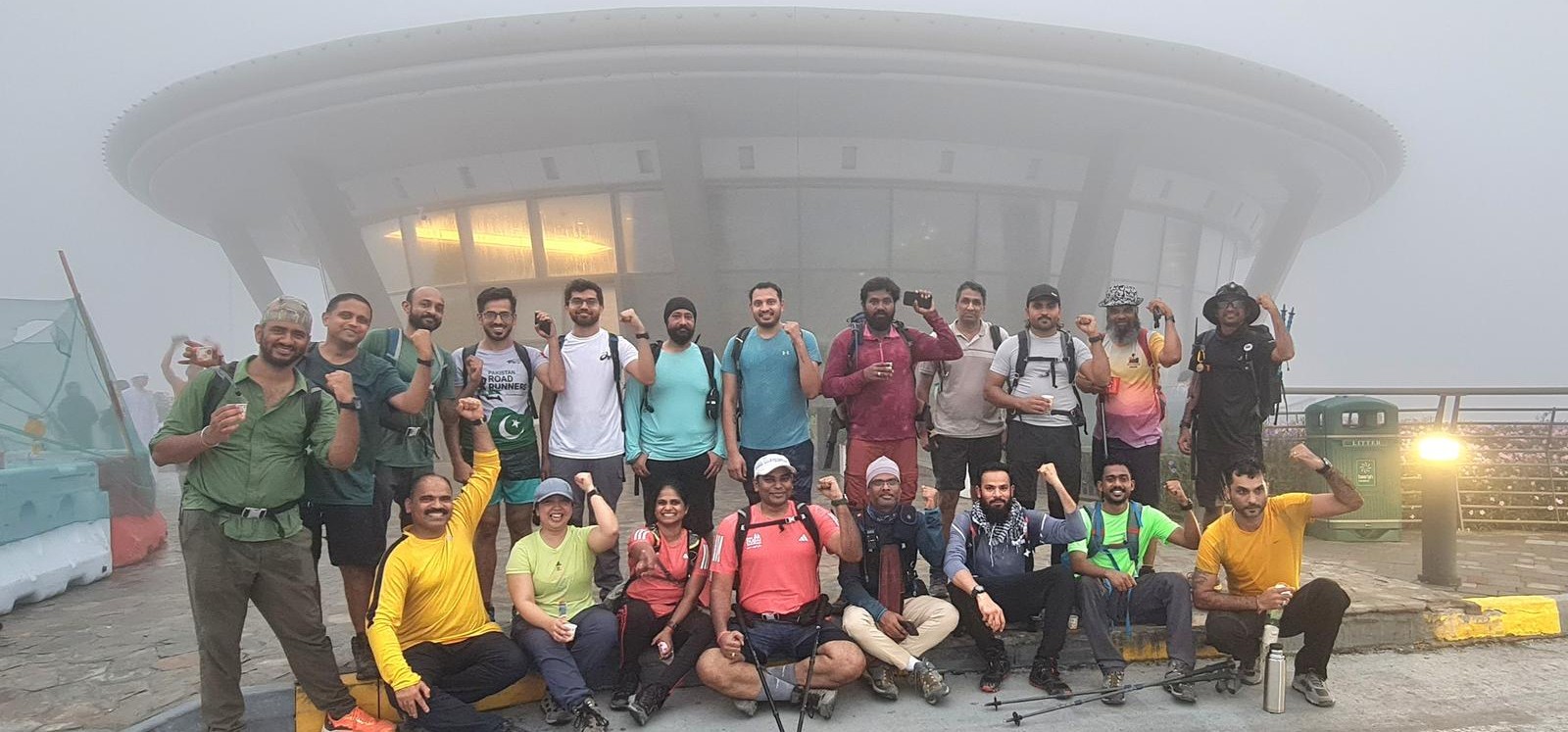
With friends


Leave a Reply