More details & pictures posted on wikiloc.
https://www.wikiloc.com/hiking-trails/india-paithalmala-hike-kannur-kerala-115891319
My Non Commercial and Non Profit Hiking Community friendly personal FB Page dedicated to UAE Hiking information and Trails.
https://www.facebook.com/Patricks-Hikes-101251445547970
Paithalmala Hike. Kannur. Kerala. India.
Trail Stats:
| Distance: | 10.5 kms |
| Difficulty: | Moderate |
| Elevation gain: | 549 m |
| Elevation loss: | 549 m |
| Max elevation: | 1150 m |
| Min elevation: | 850 m |
| Trail type: | Out and Back |
| Moving time: | 3 hours 30 min |
Paithalmala Hike. Kannur. Kerala. India.
Hiking the Paithalmala Trail in Kannur, Kerala: A Journey Through Nature’s Splendor
Nestled in the Western Ghats, Paithalmala is a hidden gem in the Kannur district of Kerala, India. This enchanting hill station, standing at 1372 meters above sea level, offers a perfect escape for adventure seekers, nature lovers, and anyone looking to take a break from the hustle and bustle of city life.
The Trail
The Paithalmala trail is a 6-kilometer trek that takes you through dense forests, verdant meadows, and bubbling streams. There are two routes to choose from, each offering its own unique experience. The first route, starting at Kappimala (Alakkodu), is more challenging and suited for seasoned trekkers.
The second route, beginning at Pottenplave near Kudianmala, as this trail is recorded, is easier and more accessible, making it ideal for amateur hikers.
Scenic Beauty
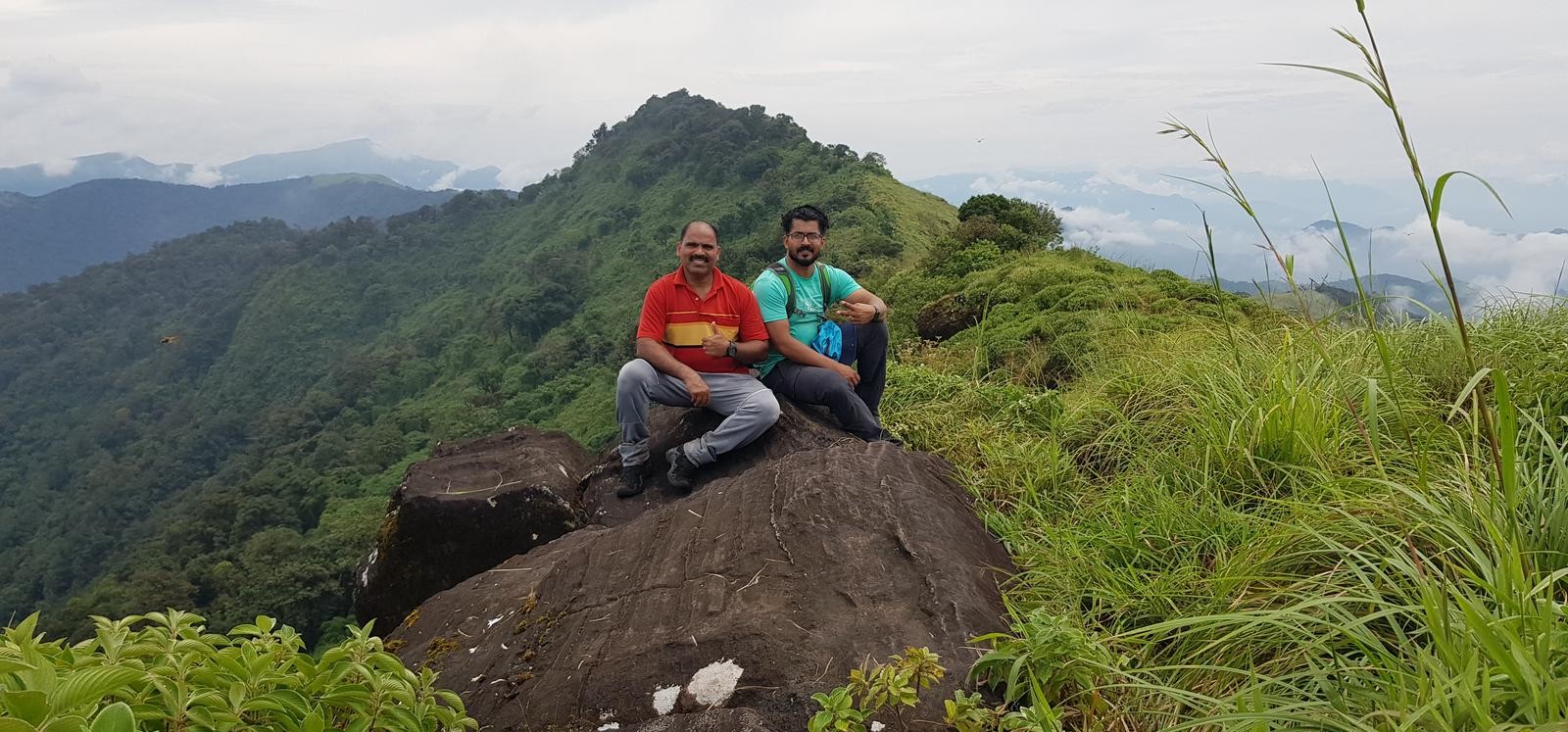
As you ascend the trail, you’ll be greeted by the lush greenery of the semi-evergreen shola forests. The area is home to over 100 varieties of butterflies and numerous rare trees and plants. The trail eventually opens up to expansive grasslands that lead to the Paithalmala peak. From the crest, you can enjoy panoramic views of the Coorg valleys on one side and the plains of Kannur on the other. On clear days, you might even catch a glimpse of tiny matchbox-sized houses far down in the valley.
Points of Interest
One of the highlights of the trek is the Ezharakundu Waterfalls, where trekkers can take a refreshing break and cool off in its pristine waters. The trail also passes by the ruins of the Palace of Vaithalkon King, adding a touch of historical intrigue to the journey.
Best Time to Visit
The best time to hike the Paithalmala trail is during the monsoon season when the rains transform the landscape into a vibrant, lush paradise. The mist-laden hills, green meadows, and scenic valleys create a magical atmosphere that is sure to leave a lasting impression.
Conclusion
Hiking the Paithalmala trail is more than just a physical activity; it’s an opportunity to immerse yourself in the ethereal beauty of Northern Kerala. The stillness of the hills, the crisp mountain air, and the breathtaking views will soothe your heart and soul, providing a much-needed respite from the chaos of everyday life.
Parking Location:
Grade: Moderate
Base Village: Pottenplave near Kudianmala
Range: Paithalmala
Download:

Summit

Trail

Trail

Trail

Grass land

Grasslands

Trail

Trail.

Leave a Reply