Highlander (2022/23) Lower Segment Reverse. Ras al Khaimah..
Jais road – Haqeel plateau – Jebel Naqat Ridge – Jais road descent.
If you followed my trail and my details provided have been helpful for you in your hiking journey, kindly leave a review on this post.
It helps other hikers and it will build a better hiking community. Thank you.
My Non Commercial and Non Profit Hiking Community friendly personal FB Page dedicated to UAE Hiking information and Trails.
https://www.facebook.com/Patricks-Hikes-101251445547970
Trail Stats:
| Distance: | 12.66 km |
| Difficulty: | Moderate |
| Elevation gain: | 750 m |
| Elevation loss: | 672 m |
| Max elevation: | 722 m |
| Min elevation: | 206 m |
| Trail type: | One Way |
| Moving time: | 3 hours 30 minutes |
This is a one way hike of the 1st of the 4 Highlander trail segments,
Jais road near Haqeel to Naqat area on Jais road.
The trail is about 11 Kms long, the road connection trail to Naqat is 2 Kms long making it total 13 kms long hike.
This trail as recorded.
The start point and end point driving / parking distance is about 3.5 Kms.
The cars should be parked at both ends.
Hike start point.
https://maps.app.goo.gl/2oVY1CTm4zj92eqe9
25.846768, 56.099297
Car parking is close by in the left side construction area, please use the offroad to access, do not block the road or access.
Hike end point / car parking.
https://maps.app.goo.gl/k2yBceXixa1KDwEm8
25.875840, 56.100508
Park the cars in the left side here away from the road, there’s a short offroad that can be used.
The hike is always on clearly laid trail, well visible and safe.
The trail gradually gains elevation until you reach the Haqeel plateau which rewards you with about 3 Kms of flat type hike over the fields and farms through a good trail.
Near the thunder canyon, the trail ascends again over the Nakat ridge all the way up with a gradual incline till you reach the 2nd shelter, which is your highest point for the hike.
From here, you descend 600 meters all the way down by 2 kms long of steep trail, taking you straight to the Jais road where you parked your cars.
This trail below shows the full recording of Highlander 2022 in anticlockwise fashion.
https://www.wikiloc.com/hiking-trails/uae-51-highlander-2022-1-day-hike-120113416
We could effectively divide the UAE Highlander 2022/23 trail into 4 segments as their start / end points have escape routes to the Jebel Jais road.
These individual segments can be actually hiked over 4 schedules to hike at leisure, but the issue will be car management as these will be one way routes.
Based on escape trails, I have divided the main 37 Kms trail of Highlander into 4 segments in clockwise fashion.
1. Jais road near Haqeel to Naqat area on Jais road.
The trail is about 11 Kms long, the road connection trail to Naqat is 2 Kms long.
This trail as recorded.
The start point and end point driving / parking distance is about 3.5 Kms.
2. Naqat area (Jais road) to Parking #3 on upper Jais road.
The initial road connection trail of 3 Kms, The Highlander segment of 6.5 Kms and then the Jais road connection via Wassab village of 5 Kms.
https://www.wikiloc.com/hiking-trails/jais-road-highlander-jebel-rahabah-wassab-village-one-way-162123882
The start point and end point driving / parking distance is about 18 Kms.
3. Jais road / Wassab connection trail of 5 Kms till Highlander segment of 5.5 Kms till the Jais view deck park.
https://www.wikiloc.com/hiking-trails/jais-road-wassab-village-jebel-rahabah-view-deck-park-119938074
The start point and end point driving / parking distance is about 5 Kms.
4. Jais View deck park to Highlander segment all the way till observation deck via Ghaf summit trail then descend all the way down to Wadi Lahsa via Musaibat village.
Total of 16 Kms.
This will be the longest and enduring hike and the car management will need 20 minutes of driving each way. The start point and end point driving / parking distance is about 15 Kms.
Please use trail below in reverse and pls remove the Jais true summit section hike.
https://www.wikiloc.com/hiking-trails/uae-52-lahsa-jais-summit-view-deck-park-hike-via-hl22-route-154673603
Parking Location:
Grade: Moderate
Base Village: Haqeel
Range: Jebel Jais, Naqat
Download:

Haqeel

Shelter.

Trail.

Shelter.

Trail

Terrain.

Scenery

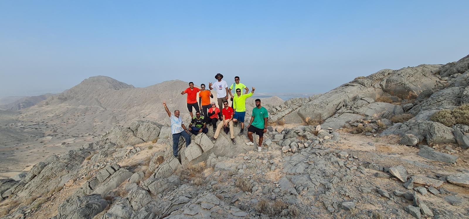
With friends


Leave a Reply