My Non Commercial and Non Profit Hiking Community friendly personal FB Page dedicated to UAE Hiking information and Trails.
https://www.facebook.com/Patricks-Hikes-101251445547970
Ghalilah Dam – STH RB – Jais Summit- Jebel Raharah peak – Ghalilah Loop
Trail Stats:
| Distance: | 28 kms |
| Difficulty: | Moderate+ |
| Elevation gain: | 2070 m |
| Elevation loss: | 2070 m |
| Max elevation: | 1935 m |
| Min elevation: | 120 m |
| Trail type: | Out and Back |
| Moving time: | 8 hours 10 minutes |
Ghalilah Dam – STH RB – Jais Summit- Jebel Raharah peak – Ghalilah Loop
The distance is 27.6 Kms with 2070 meters elevation gain (Garmin Watch)
If you followed my trail, referred my detailed text and if it helped you in achieving your goal or not, Kindly leave a comment / review on my post after your hike.
It will be helpful for fellow hikers to understand the trail and your inputs will be appreciated.
We hiked this trail with a leisure pace, taking pictures and enjoying the foggy weather with almost no sunlight.
With better preparations and fitness, this can be hike can be completed within 9 hours, if taken as a challenge.
Please read all details in the Description, including Safety related Topics below.
We started from Wadi Ghalilah Dam towards Wadi Litibah in RAK at 6.30 am which is the usual start point of STH right Bank.
We parked at the dam here.
https://maps.app.goo.gl/KNCdrCWQqEEw3wfQ7
25.980939645908684, 56.14556446393915
We first walked on almost flat wadi offroad for about 3 kms till the base village of STH trail. Then we hiked up on STH Right Bank till the Ras al Ghash village in 3 hours using Standard STH Right bank trail.
The trail is very well laidm visible and maintained, you simply can’t get lost.
There are many rest shelters constructed for every Km and has stone benches for resting.
Once at the village, we met the farm hand Mr. Sajjad and rested a bit.
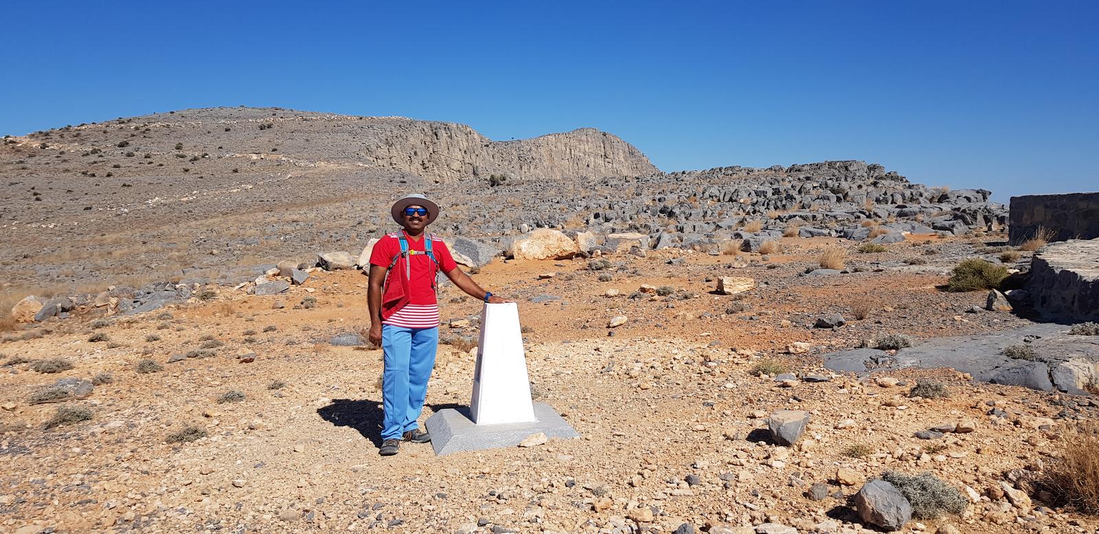
Then continued till Jais True Summit of Jais at 1932 Meters Elevation in 1.5 hours ( Total 4.5 hours to the Summit ).
There is a properly visible trail that will take you to the top of Jebel Jais.
Please note that the true summit 1935 mtrs of Jais is geographically within Oman boundary line. There is no fence there.
Once at the True summit of Jais, we turned Right towards HH Sheikh Al Qassimi palace, and then further towards the Ghaf Summit Trail.
This area also has a proper visible trail.
Once we were closer to Jais Zipline, we climbed the peak of Jebel Raharah on which Zipline is situated.
Further we descended to 1640 mtrs marker (Ghaf summit ) and then further descended to the Wadi Ghalilah dam turn point near the large flag pole.
Closer to 1484 Restaurant, we reached the link to the Glalilah trail.
Then descended towards the Ghalilah Dam via the Ghalilah Trail.
This Ghalilah descent section has some segments of steep descent, loose rocks and good footing is needed.
Please wear proper ankle support hiking boots for more safety and a better experience.
We finally reached down to the Dam parking where we had originally parked our cars.
Total 28 Kms distance, covered in 11 hours ( including breaks ) and 51,000 Steps during the Trail.
Total Elevation gain 2,100 meters.
Few clarifications from my end.
This is part sun exposed and part shaded hike. We started early and in January, so we had good shade during our Ascent almost until we reached the Ras al Ghash ( STH summit ) village. The Mountain wall on Eastern side (Omani) gives a lot of shade in the mornings. In late winter / summer, April, you may get shade till you reach the dry waterfall ( midpoint of STH trail) and from there I feel you will have exposure to the sunlight all the way and all the time.
There are not many trees on the trail further.
You may have shade on your descent on Ghaf – Ghalilah trail due to setting sun in the West and the Wadi effect.
Basically you need to give an early start to take advantage of gaining the elevation as fast a s possible without effect of Sun.
We started from Ghalilah dam and ended the hike there. The initial 3 kms was flat walk from Ghalilah dam till Litibah. You could avoid it if you have 2 SUVs and park them at both points. Then the trail would be 3 kms shorter and one way, instead of a loop.
You could do this hike in reverse too, but same logisitics will be needed.
You will hike up all the way till the big flag on Ghalilah trail till you hit the Jais road (Puro 1484) and then continue till Ghaf summit, continue further the Palace and Jais and then turn left. (true summit is optional) The trail is well laid and very visible. You can’t get lost. The trail will lead you to the Ras al Ghash village and down to Litibah start point.
If at all you want to cut short, you have option only at Ghaf Summit / Puro 1484 restaurant areas ). You still need to reach the last public parking or View deck park area and call the Arabia Taxi on 8001700 and drive back to your car parking. This option is always a back up.
The Taxi will cost you about aed 1.7 per Km.
Hope I have clarified your queries.
Please study the trail and map for better planning and Plan B and C.
Carry enough supplies considering the weather.
Worse to worse case scenario, you may find drinking water in STH village, The Palace security guard or the Puro restaurant.
Be safe, prepare well, Do not over estimate and enjoy your moments in the middle of nowhere. Take back all your rubbish with you
Parking Location:
Grade: Moderate+
Base Village: Wadi Ghalilah, Wadi Litibah
Range: Jebel Jais.
Download:

Jais Summit

Jais view

Trail.

Village.

STH Waterfall.

Trail

Trail

Trail.


Leave a Reply