More pictures in this post on wikiloc.
https://www.wikiloc.com/hiking-trails/atmar-village-wadi-bih-to-durdur-solo-house-hike-repeat-173426913
Youtube link for this hike recorded by fellow hiker Ganesh.
https://www.youtube.com/watch?v=GfobQDWo2y8
My Non Commercial and Non Profit Hiking Community friendly personal FB Page dedicated to UAE Hiking information and Trails.
https://www.facebook.com/Patricks-Hikes-101251445547970
Atmar village (Wadi Bih) to Durdur solo house hike (Repeat)
Trail Stats:
| Distance: | 8 kms |
| Difficulty: | Moderate |
| Elevation gain: | 700 m |
| Elevation loss: | 700 m |
| Max elevation: | 770 m |
| Min elevation: | 160 m |
| Trail type: | Up and Back |
| Moving time: | 2 hours 10 minutes |
If you followed my trail and my details provided have been helpful for you in your hiking journey, kindly leave a review on this post.
It helps other hikers and it will build a better hiking community. Thank you.
This trail is definitely good for endurance as it has good amount of elevation gain over a short distance. You gain 600 meters elevation in 2.7 Kms distance. Most of this ascent trail is manmade rocky steps and stable path.
We hiked this trail to achieve high elevation with short distance and enjoy scenic views and sun rise.
We started our walk at 4am and reached the mountain summit in 2 hours time.
The weather was humid and breezeless in the Wadi section, but was pleasant with cool breeze in the open and mountaintop areas.
This hike starts and ends at the same spot being Up and down hike.
The location is at Wadi Bih on Jebel Jais road.
We parked here, near the Atmar village here.
Please note that this is a functional village, so pls park away from the village and do not block the access roads.
Please do not make noise, stay silent while walking through the road.
The village residents do not like loud people in their residential area.
We parked here.
25.819843, 56.113340
https://goo.gl/maps/fNdG5CXfDSGeAGue7
The first KM is just plain walk through the graded road of the village access road.
Immediately afterwards, the trail takes you through a narrow canyon all the way, winging around and gaining quick elevation but on a stable and visible path.
Finally you reach a Y junction which basically connects Wadi Bih trail, Hebs village trail and Wadi Haqab trails.
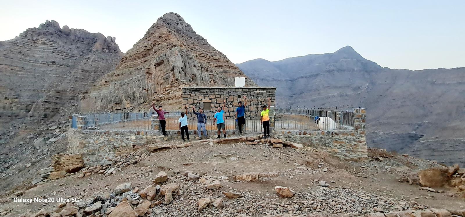
We turned left towards the mountain top to finally reach the Durdur plateau at 800 meters elevation that gives excellent views of Wadi Bih, Jebel Jais, Jebel Yabana, Jebel Qadaah and many more mountains of the Musandam peninsula.
We considered the solo house at Durdur as our summit for the day and enjoyed the break.
We returned back all the way on the same path.
During descent, you will be safe with good hiking shoes and a hiking pole if possible.
The narrow canyon section usually is breezeless. This Wadi is narrow and its possible that you may be saved from direct sunlight.
This trail is less popular as compared to the other trails in Jebel Jais area. Its a well laid path with a number of stairs here and there.
Overall this hike is best for good Cardio workout, good elevation gain over short distance and some of the best views from the plateau.
Parking Location:
Grade: Moderate
Base Village: Wadi Shah / Khamed
Range: Jebel Jais, Wadi Shah, Wadi Lahsa.
Download:

Summit

Summit

Terrain.

Summit.

View point.

View point

Trail.

Trail.


Leave a Reply