More details can also be found on wikiloc link below.
https://www.wikiloc.com/hiking-trails/oman-w9-part-misfat-al-abriyyin-hike-summit-part-exploration-101646703
My Non Commercial and Non Profit Hiking Community friendly personal FB Page dedicated to UAE Hiking information and Trails.
https://www.facebook.com/Patricks-Hikes-101251445547970
Oman: W9 (part) Misfat al Abriyyin Hike.
Trail Stats:
| Distance: | 10 kms |
| Difficulty: | Moderate |
| Elevation gain: | 666 m |
| Elevation loss: | 666 m |
| Max elevation: | 1500 m |
| Min elevation: | 980 m |
| Trail type: | Out and Back |
| Moving time: | 6 hours 10 minutes |
Oman: W9 (part) Misfat al Abriyyin Hike.
You can park here, the parking is at the entry to the Misfat village, please do not block the road.
23.141002, 57.311526
https://goo.gl/maps/igQxB7qhhn8dfp8EA
Considered the “most beautiful village in Oman”, Misfat Al Abriyeen is a great stop during the day or for an overnight stay.
Traditional mud houses, lots of stairs, mountains and plantation in terraces… A great place for a relaxing break.
Misfat Al Abriyeen is a stunning 500-year-old village on the slope of mountains.
It has become a destination for tourists as it is considered one of the most beautiful villages in Oman.
And it has, indeed, a lot of charm:
Old houses of mud and palm frond roofs,
Agricultural terraces still being used by locals,
A beautiful wadi,
Several hiking options,
The road is paved all the way to the village
It is steep but can be done in a normal car
Carpark at the top of the village – not big.
The hiking trails are all indicated with painted flags orange, white, red:
W9 through the historic part to the beginning of the falaj (main entrance, old alleys, pool, staircase, mosque, viewpoint for the star towers)
W9a, the staircase walk – be careful steep and narrow staircase
W9c, the garden and wadi walk.
W9 from Misfat al Abriyyin is a long climb (5-6 hrs, gaining over 1,000m) on an old donkey trail from Misfat al Abriyyin near Al Hamra, again with superb views northward.
You can either walk in and back if you need to get back to a car, or create a memorable day walk (of varying lengths – eg W10 then W9 would be 6hrs or so of walking – and difficulties, across the high, rough, magnificent mountains by joining the paths, which i would love to do.
This trail starts from the village, passes through the Falajs and green farms of fruits and vegetables, connects towards the Wadi with good views.
Later on it crosses the dry Wadi and turns right and we walk over to the mountain surface through a steep but stable terrain and then onwards you are always on the mountain surface.
If continued, the W9 trail actually connects to Bald Sayt village and Shorfet Alameen area. Its would be about 16 Kms one way hike.
You would need vehicles arrangements,
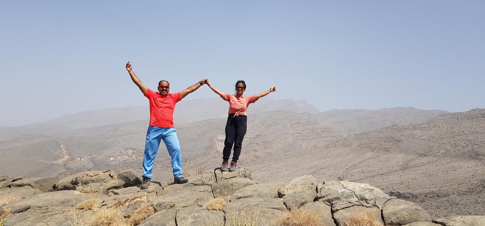
In our case, we decided to turn back after deviating from the marked trail, and made our own summit point away from the official trail.
Then we descended by our own way and merged into the official trail and back to the Misfat village.
Parking Location:
Grade: Moderate
Base Village: Misfat al Abriyyin
Range: Jebel Shams
Download:


Trail

Trail.

Trail.

Trail.

Trail

Trail

Leave a Reply