More details can also be found on wikiloc link below.
https://www.wikiloc.com/hiking-trails/oman-w8a-bald-sayt-village-to-haat-village-130017587
My Non Commercial and Non Profit Hiking Community friendly personal FB Page dedicated to UAE Hiking information and Trails.
https://www.facebook.com/Patricks-Hikes-101251445547970
W8a: Bald Sayt village to Haat village.
Trail Stats:
| Distance: | 6 kms |
| Difficulty: | Easy |
| Elevation gain: | 180 m |
| Elevation loss: | 180 m |
| Max elevation: | 100 m |
| Min elevation: | 10 m |
| Trail type: | Out and back |
| Moving time: | 3 hours 45 minutes |
W8a: Bald Sayt village to Haat village.
The actual marked trail starts from the village school.
You can park in the vicinity as available.
23.189637, 57.387565
https://goo.gl/maps/AEUseUZe95yXocQ86
Balad Sayt is a mountain village tucked between the Western Hajar mountains bordering the Dakhiliyah and Batinah regions of Oman, and is part of wilayat Al Rustaq in the South Batinah Governorate.
Balad Sayt is located almost half-way through the mountain path connecting Al Hamra to Nakhal/Al Rustaq through Wadi Bani Awf, and is adjacent to “Snake Canyon”.
Balad Sayat is a stunning village in picturesque surroundings that should be part of anyone’s check-list of places to visit when coming to Oman. The village is sometimes mistakenly referred to as Bilad Sayt which is a different village under wilayat Bahla in the Dakhiliyah Governorate, about 50 kilometers away.
Bilad Sayt can be reached through Wadi Al Sahtan and Wadi Bani Awf from NE or via Al Hamra from the SW and is only accessible by 4-wheel-drive vehicles.
You can reach it either from Al Hamra by following the signs to Balad Sayt or by taking the Wadi Bani Awf turn off the Nakhal–Al Rustaq road. In both cases, the road is initially paved but becomes harsher and steeper as you go in, and Balad Sayt village is about 15 kms through after the asphalt road ends from Shorfat al Alamayn (from Al Hamra) or Al Tikhah village (from Batinah side). You will definitely need a 4WD to get to Balad Sayt, and also need to be comfortable driving in narrow-mountainous paths.
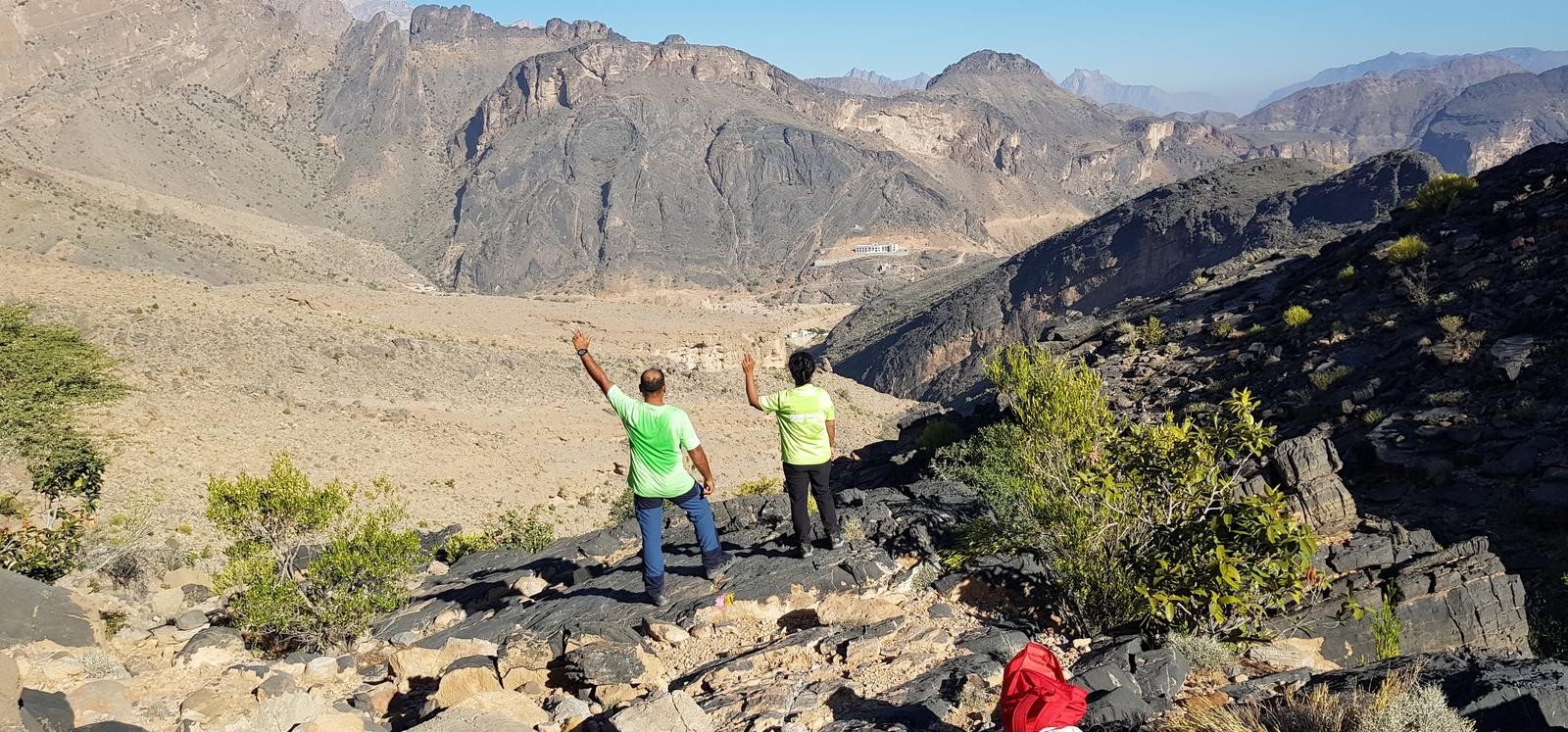
We hiked the W8a marked trail between Bald Sayt to the upper village of Haat that lies along the offroad connecting to Shorfet alameen plateau.
There are total 4 trails here, well marked.
W8a – Bald Sayt to Haat (3 Kms )
W8b – Haat to Shorfet alameen ( appx 4 kms)
W10h – Shorfet alameen plateau (appx 3 kms )
W8 – Shorfet alameen plateau to Bald Sayt descent (4 Kms)
The W8a trail starts from the village school and well visible with yellow red white flag.
Soon you can see that the route goes via the fields, wadi and cemetery.
Soon you will be out of the village and on the gradual mountain surface on a very visible marked path that takes you to the next village of Haat by 2.5 kms long trail.
Just keep looking for the trail marker flag.
The Haat village is a functional village with evident and hearable activities.
The driving distance between the villages is about 6 kms.
Once at Haat, you can decide to come back by hike or road.
Additionally you can hike upto Shorfet alameen plateau by W8b trail.
Parking Location:
Grade: Moderate
Base Village: Bald Sayt
Range: Jabal Akhdar.
Download:


Trail

Trail.

Trail.

Trail.

Trail

Trail

Leave a Reply