More details can also be found on wikiloc link below.
https://www.wikiloc.com/hiking-trails/oman-w10h-shorfet-al-alameen-till-w8-bald-sayt-summit-101978726
My Non Commercial and Non Profit Hiking Community friendly personal FB Page dedicated to UAE Hiking information and Trails.
https://www.facebook.com/Patricks-Hikes-101251445547970
W10h Shorfet al Alameen till W8 Bald Sayt Summit.
Trail Stats:
| Distance: | 11.5 kms |
| Difficulty: | Easy |
| Elevation gain: | 380 m |
| Elevation loss: | 380 m |
| Max elevation: | 2100 m |
| Min elevation: | 1980 m |
| Trail type: | Out and back |
| Moving time: | 5 hours 5 minutes |
W10h Shorfet al Alameen till W8 Bald Sayt Summit.
This trail can be hiked by Beginners under guidance and with proper preparations.
Shorfet al Alameen area is on the plateau of Jebel Haat near Al hamra and is at almost 2100 meters elevation, so it is much cooler even during summer. We could see the drop of 15 degrees of temperature while driving from Al Hara to this area.
This plateau is very scenic with impressive views of Haat village, Bald Sayt village, Wadi Bani Awf and Snake Gorge.
You can always see many families resting, camping and picnicking on this plateau as it is very popular place.
This is located almost half-way through the mountain path connecting Al Hamra to Nakhal/Al Rustaq through Wadi Bani Awf.
The access road from Al Hamra area is asphalted till the summit point, so Sedans will reach till the hike start point.
There are few hotels in the vicinity, in case you plan to stay in luxury.
We parked here.
23.167157, 57.414952
https://goo.gl/maps/8m1ssAyBcuBuydqa8
Hiking Options:
We hiked this trail W10h that starts at Shorfet al Alameen till W8 Bald Sayt Summit point. We hiked during early May, and we started the hike at noon !!
It was pleasant enough.
The trail is clearly marked with Yellow, white, Red Hiking flag colours of Oman trails.
This trail connects to W9 and you can hike all the way till Misfat al Abriyyin and beyond, if you have logistics support. This option will be flat hike and then descent towards W9 all the way.
This trail W10h also connects to W8 and you could descend into Bald Sayt village and either return back ( steep ascent ) or have alternative logistics plan. The descent will take you down on a steep marked trail to about 1000 meters down.
About 3 Kms into this hike of W10h, there is a connection to descend into the Haat village. The descent will take you down on a steep marked trail to about 1000 meters down.
Our Hike:
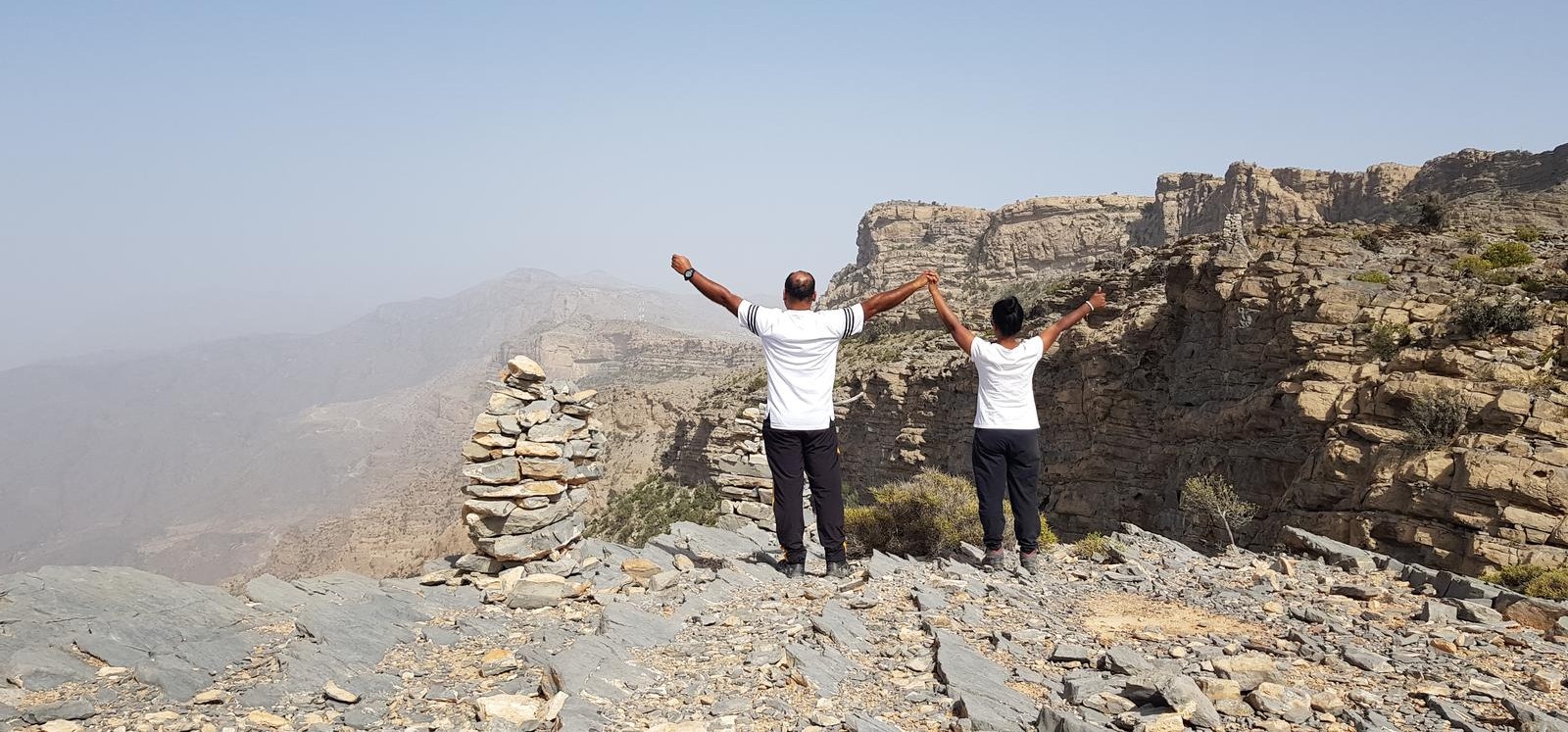
We hiked only on the Plateau of the mountain and reached the W8 summit.
We had impressive views of all the areas and villages in the vicinity.
After a nice break, we returned back the same way.
There are few trees on the mountain for resting.
The views of Bald Sayt village, Wadi Bani Awf and Haat village are impressive from various elevations.
The summit plateau is very scenic, cool with breeze and views.
Be safe, prepare well, Do not over estimate and enjoy your moments in the middle of nowhere. Take back all your rubbish with you.
Parking Location:
Grade: Easy plus
Base Village: Eastern mountain
Range: Jabal Akhdar.
Download:


Trail

Trail.

Trail.

Trail.

Trail

Trail

Leave a Reply