More details & pictures posted on wikiloc.
https://www.wikiloc.com/hiking-trails/uae-border-dash-lahsa-musaibat-bm37-jebel-raharah-hl22-shahha-village-hidden-oasis-loop-161561703
My Non Commercial and Non Profit Hiking Community friendly personal FB Page dedicated to UAE Hiking information and Trails.
https://www.facebook.com/Patricks-Hikes-101251445547970
Wadi Lahsa – Musaibat- Jebel Sal (BM#37) – Jebel Raharah – HL22 – Shahha village- Hidden Oasis Loop. Ras al Khaimah.
Trail Stats:
| Distance: | 23 kms |
| Difficulty: | Difficult |
| Elevation gain: | 1800 m |
| Elevation loss: | 1800 m |
| Max elevation: | 1700 m |
| Min elevation: | 375 m |
| Trail type: | Loop |
| Moving time: | 10 hours 30 minutes |
Wadi Lahsa – Musaibat- Jebel Sal (BM#37) – Jebel Raharah – HL22 – Shahha village- Hidden Oasis Loop. Ras al Khaimah.
More details & pictures posted on wikiloc.
https://www.wikiloc.com/hiking-trails/uae-border-dash-lahsa-musaibat-bm37-jebel-raharah-hl22-shahha-village-hidden-oasis-loop-161561703
my non-commercial Facebook community, “Patrick’s Hikes”! Get updates on past and upcoming expeditions, connect with fellow enthusiasts, and share your own trailblazing experiences.
Here’s the link: https://www.facebook.com/Patricks-Hikes-101251445547970
You can use this trail recording for following options.
1. Hidden Oasis from Wadi Lahsa
2. Shahha village from Wadi Lahsa
3. Jebel Raharah from Wadi Lahsa.
4. Musaibat village / Shah summmit from Wadi Lahsa.
5. Musandam ridge BM #37 from Wadi Lahsa.
This trail is specifically marked as DIFFICULT for the Summit section hike from Shah peak as it involves enduring tasks and activities. Ropes are not needed.
We few friends went on this demanding hike which has many names (partly STH Qualifier by some paid group, Abs Point 21 summit etc ) We combined many trails to make it one hike of great endurance.
This loop hike is almost all of it a visible trail, but marked as Difficult ONLY for the 2 kms section on ascent route from 5 kms (1050 mtrs) till 7 kms (1550 mtrs) from Wadi Shah summit till border marker #37 section.
This section needs good navigation, Scrambling, sure footing and Bouldering skills on this rough terrain.
We parked here at Wadi Lahsah near Wadi Khamed/ Bear Grylls.
25.903439, 56.141421
https://goo.gl/maps/34Z1hF35GYukDwdB8
We started at Wadi shah , hiked up to Musaibat village / Wadi shah summit via the old trail of Wadi Shah loop which is more used by locals and farmers. ( which is also a common old trail of Wadi Shah – Musaibat village hike ).
Once reached the Musaibat village, we enjoyed a rest at one of the village houses, and then hiked up towards the Wadi Shah peak ( the trail is well made and visible )
From there, we descended to the saddle between the Oman ridge and UAE villages, from there we hiked up to 1550 meters summit via an enduring mountain section. This 2 kms section is rough, loose at places, lots of uneven boulders where manual scrambling is needed. Navigation is critical in this section, you will see some man laid stones as a path, some cairns here and there and in some places you can choose your own path to hike up keeping the summit in view.
In this section, most of the time you are on the ridge, ledge of the mountain.
Hand gloves is very necessary for scrambling here as the rocks are rough and sharp.
If you see unsafe area, stop and rethink your path as there are few safe options that may need little scouting.
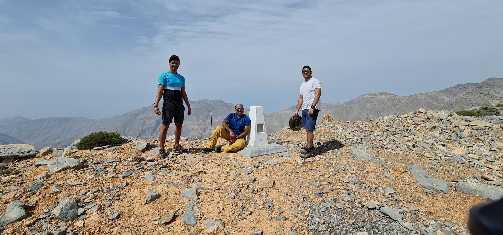
The summit has a Oman/UAE border marker post with 37 number on it.
Once here, we traversed leftwards along Oman / UAE border markers 38, 39 and 40, noting their numbers reaching towards UAE side of Adventurati campsite of 1770 meters.
Once at the rest shelter of Camp 1770, we descended down towards Jebel Raharah using Highlander trail and then summitted the Raharah, which is commonly known as Zipline mountain as the Zipline starts here.
From here, we descended towards the old military camp area plateau and then descended using the Highlander trail towards Shahha areas.
Further we used the HL trail to reach Shahha village (above hidden Oasis) by some trail and some exploration on rough mountain surface.
From Shahha village, we descended down to the GREEN hidden Oasis fields and further hiked down to Wadi Lahsa, where we had parked our cars using the standard HO trail.
It was a great day and wonderful experience.
As mentioned before, almost 70% of this hike is a well laid trail except for the summit push that needs great care, perseverance and navigation.
We burnt enough calories to experience wonderful moments and bestest views of the UAE/Oman mountains.
Long live UAE / Oman.
Parking Location:
Grade: Moderate
Base Village: Wadi Ghail
Range: Jebel Qada’ah.
Download:


Trail

Trail

Trail

Village

Village

Trail

Trail.

Leave a Reply