My Non Commercial and Non Profit Hiking Community friendly personal FB Page dedicated to UAE Hiking information and Trails.
https://www.facebook.com/Patricks-Hikes-101251445547970
Jebel Al Abyadh Masfout Loop Hike.Ajman. (Hatta)
Trail Stats:
| Distance: | 10.3 kms |
| Difficulty: | Moderate |
| Elevation gain: | 483 m |
| Elevation loss: | 483 m |
| Max elevation: | 595 m |
| Min elevation: | 340 m |
| Trail type: | Loop |
| Moving time: | 2 hours 50 minutes |
Jebel Al Abyadh Masfout Loop Hike.Ajman. (Hatta)
Masfout, also spelt as Masfoot, is a charming small village situated in the emirate of Ajman but located geographically near Hatta. This picturesque village is surrounded by the southern region of Ras Al Khaimah, the Dubai enclave of Hatta, and Oman.
If you followed my trail and my details provided have been helpful for you in your hiking journey, kindly leave a review on this post.
It helps other hikers and it will build a better hiking community. Thank you.
The Masfout Hiking Trail offers a well-established path that covers most of Masfout’s historic locations such as Masfout museum, Al Boma Fort, Hamam tower and the Al Owais Dam, winding its way around and through Jebel Al Abyadh, aptly named the “White Mountain” – a prominent peak in the Masfout area.
The mountainous terrain bears a striking resemblance to the fossil rocks found in Mlieha.
The trail attains a maximum elevation of approximately 600m, offering breathtaking views of Jebel Al Abyadh mountain, the Masfout village, and the neighboring mountains of Hatta, RAK and Oman throughout the hike.
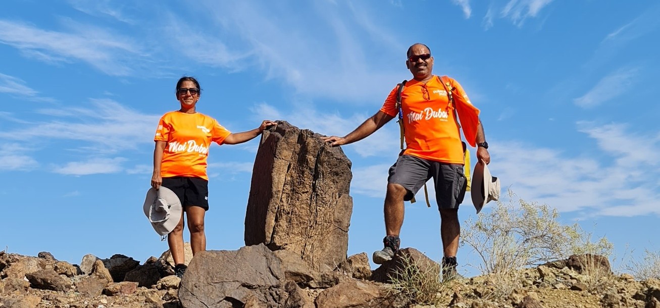
Notably, a colossal fossil rock graces the middle of the trail.
This is a generally well laid and visible trail.
The trail includes some steep ascents and descents, as well as sporadic loose rocks, contributing to its moderate rating.
On our trail, from 1st summit towards the 2nd summit, there are few patches with exposed parts which are definitely not for the persons with fear of heights.
Hiking poles will definitely be useful at certain sections.
The terrain is slippery due to presence of brittle rocks and small pebbles.
Otherwise a very good hike with lots of wavy type trail, ups and downs giving you a good amount of workout, elevation gain and good views of the area.
Mobile network mostly available throughout the trail.
-Hike starting point is accessible with sedan cars.
Our hike was 10 Kms long due to our start point which is Masfout museum.
From there, it was 1.8 Kms one way boring flat walk (along the road ) which can be completely avoided for a quicker hike but without any warm up.
Shorter trail Option 1:
Below coordinates are posted as per this option and not as the actual hike as recorded on wikiloc or the gpx file. But the trail is similar and you will not be offtrail.
You could park at below location on the Masfout access road and start the main ascent of the trail and come back to the same point as a loop path.
There is no designated parking at this point, but there is enough flat area for parking away from the road.
24.830407, 56.094876
https://maps.app.goo.gl/MhBird4NrS8J7S1a9
This plan can make your hike 6.5 Kms long and quicker.
Shorter Trail Option 2:
You could also park here at the Masfoot Hiking park (on google maps) and start the hike whether in left or right direction and complete is as a loop.
24.832890, 56.075010
https://maps.app.goo.gl/T3PpJddqA6is7Xc9A
This option also will make your hike around 6.5 Kms distance.
Shorter Trail Option 3:
You could also start the hike from Al Owais Dam,
24.828307, 56.078723
https://maps.app.goo.gl/zBQbqkEfYcYXWFu79
You basically park here and then climb up the dam stairs (on the right) to the dam itself, There you can see the trail mark pointers and you can join the trail.
Parking Location:
Grade: Easy+
Base Village: Al Masfout
Range: Hatta
Download:

Summit

Greenery

Trail.

Trail.

Trail.

Trail

Trail

Trail.


Leave a Reply