More details and pictures posted here.
https://www.wikiloc.com/hiking-trails/wadi-ghail-jebel-bahar-hike-160062092
Youtube video recorded by Ganesh, my fellow hiker.
https://www.youtube.com/watch?v=7hK7uz_PltM
My Non Commercial and Hiking Community friendly personal FB Page dedicated to Hiking information and Trails.
https://www.facebook.com/Patricks-Hikes-101251445547970
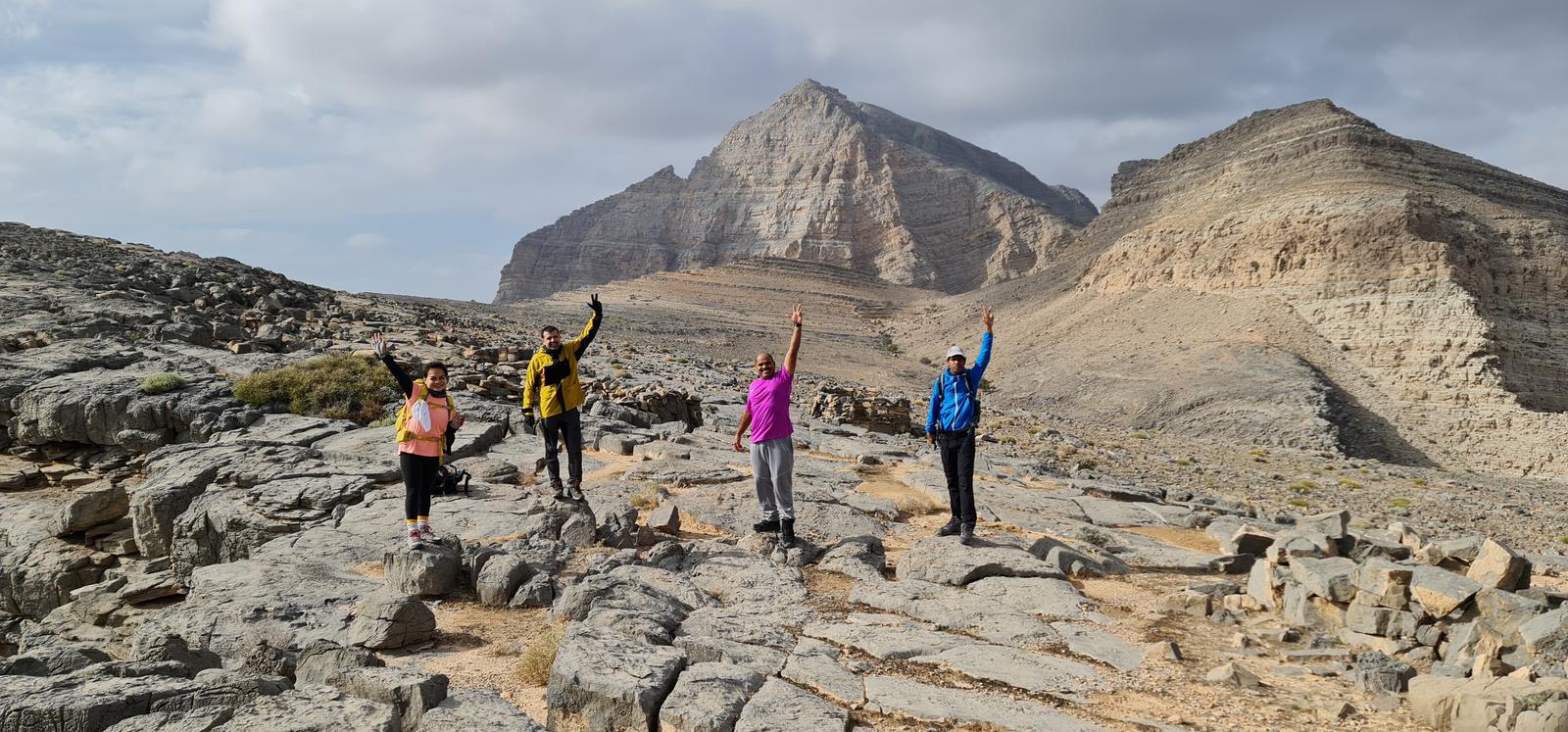
Wadi Ghail – Jebel Bahar Hike.
Trail Stats:
| Distance: | 22 kms |
| Difficulty: | Difficult |
| Elevation gain: | 1400 m |
| Elevation loss: | 1400 m |
| Max elevation: | 1425 m |
| Min elevation: | 278 m |
| Trail type: | Out and Back |
| Moving time: | 7 hours 10 minutes |
Wadi Ghail – Jebel Bahar Hike.
This trail is marked “Difficult” due to,
The challenging nature of mountain / Wadi surface, high elevation gain, long hiking distance, loose rocks scree, navigation required in the terrain and rough hike.
Can be graded as Moderate for experienced hikers.
Also can be shortened as per situation as it is same way to and back.
We hiked this trail to summit Jebel Bahar which basically stands a s a vertical wall near the Bahar village of Musandam Oman.
Few weeks ago, we had hiked to this mountain from the base of Jebel Qihwi in Dibba Musandam side of Oman, and this time we attempted to summit it from Wadi Qadaah side.
The weather was great with clouds, cold temperatures and high wind giving us extra energy.
You will need a proper 4X4 to reach the trailhead or you can park AWD about 1 Km before and add the hiking distance.
Please note Sedan cars can struggle to reach the connection of Wadi Ghail with Wadi Qadaah.
You can refer the below offroading trail to access the Wadi Ghail hike start point.
https://www.wikiloc.com/offroading-trails/ghail-153559755
We parked here.
25.767852, 56.122904
https://maps.app.goo.gl/9SfvFmE8Sruf7eff8
We started the hike from Wadi Ghail (the tributary of Wadi Qadaah ) in Ras al Khaimah and hiked till the Ghail village on a visible trail with some markers and cairns.
From Ghail village, we continued to the new trail (since 2022 ) that connects Ghail village with Hebs villages and Wadi Bih.
At the top of Wadi Qadaah, the trail gets divided.
The left one goes to Hebs and the right one goes to Bahar plateau.
We soon reached Bahar plateau, then we continued on Wadi Bahar towards Jebel Bahar all the way.
The Wadi walk is bit tricky with uneven rocks and boulders.
We passed below the Bahar village and continued in the Wadi.
At the end, the Wadi Bahar turns right towards Jebel Assasama.
We took the steep scree in the left to climb up all the way to the next plateau from where there is a visible trail all the way to the summit of Jebel Bahar which stands at 1420 meters amsl.
Jebel Bahar is the tallest peak is the vicinity other than Jebel Assasama and Jebel Qihwi.
After spending some time on the summit, we descended back to Wadi Bahar the same way through the scree ( loose rocks ) and then decided to hike through the mountain surface above the Wadi on the left side, here we found some faint trails that connect the farms and the village in the area.
We passed through the village of Bahar ( no one was around ) and then further we continued towards the plateau that connects to wadi Qadaah and descended back the same way to our starting point via Ghail village.
Parking Location:
Grade: Difficult
Base Village: Wadi Ghail
Range: Qadaah.
Download:

Bahar Summit

Tafif view

Trail.

Village.

Trail.

Trail

Trail

Trail.


Leave a Reply